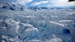
Tracking glacier change
Climate change is increasingly having an impact on glaciers across the globe, for example affecting their rate of flow or causing them to melt. Prof. Dr. Matthias Braun and his team from the Professorship for Geography (Remote Sensing and GIS) mainly use satellite data to track changes to glacier dynamics. However, they regularly visit the sites in person to check the accuracy of the data. They haven’t chosen the most accessible place to work in: the glaciers they are investigating are located in the Antarctic.
Even just getting there is an expedition in its own right. Braun and his team have to travel from Erlangen via Buenos Aires and Patagonia just to get to the Argentinian Marambio Station on the Antarctic peninsula. From there, they have to take a helicopter to get out to the glaciers. And as it is too far away to fly there and back each day, they pack a tent and supplies for several days to stay out in the field. ‘Of course, we plan our trips very carefully,’ says Matthias Braun. ‘However, now and again we may have to remain tent bound for several days if weather conditions deteriorate unexpectedly.’
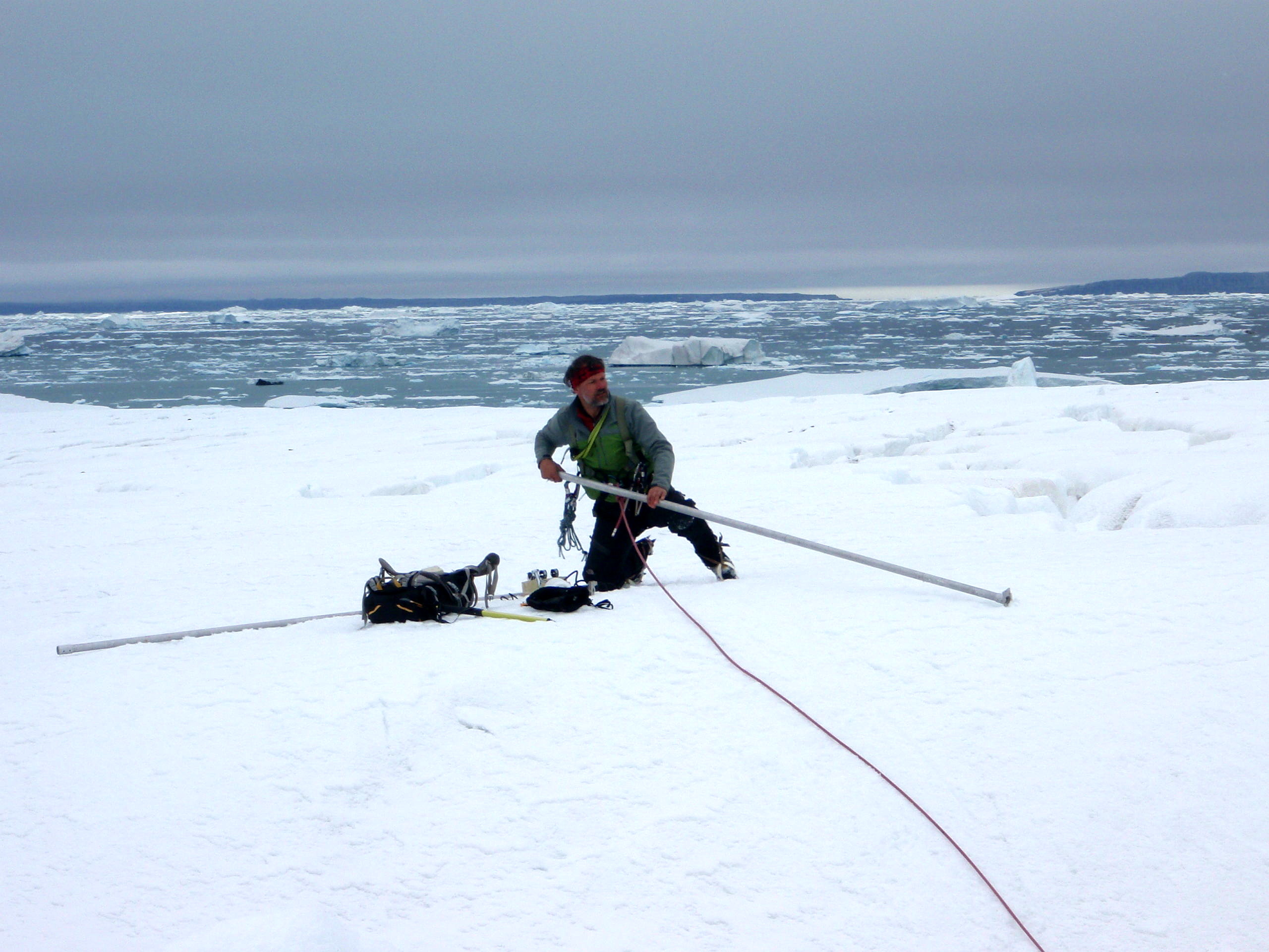
If the weather allows, the geographers have plenty to do to keep themselves busy. The team has installed waterproof position trackers at several different locations to measure the glaciers’ rate of flow directly. At the same time, cameras take several pictures per day over the course of several months to keep a visual record of seasonal and long-term changes. By comparing the data they gather from satellites with the data collected directly on site, the researchers can assess the accuracy of their satellite measurements better, allowing for calibration. Matthias Braun and his team also use another method to monitor how various glaciers gain and lose mass over time, by drilling metal poles known as ablation stakes several metres down into the ice. They can track whether a glacier has gained or lost mass over the course of a year by observing how far the poles protrude from the ice. The stakes are put into place using a steam drill. The drill pumps a stream of hot steam into the ice, melting it and allowing the stakes to be inserted. The most complicated measurements are required for checking the thickness of the ice. Using a radar system transported by a helicopter, the geographers measure the thickness of the ice along various flight routes.
The researchers led by Matthias Braun hope that their research will lead to a better understanding of how the mass of glaciers is changing as a result of climate change and whether this is contributing to the rise in sea levels. The data they publish are used directly by the Intergovernmental Panel on Climate Change (IPCC) as a basis for forecasting glacial change.
About the author
Sebastian Teichert conducts research on Arctic biodiversity, coralline red algae and ecosystem engineers at the GeoCenter Northern Bavaria at FAU.
FAU research magazine friedrich
 This article first appeared in our research magazine friedrich. You can order the print issue (only available in German) free of charge at presse@fau.de.