FAU researchers are coordinating a project aimed at flood protection
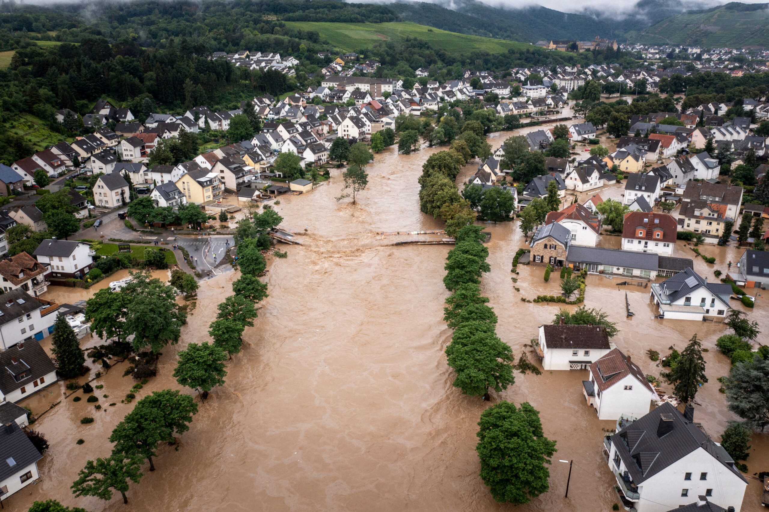
Muddy water can cause severe damage, especially if it suddenly floods huge areas. In a bid to prevent catastrophes such as this, a consortium led by Friedrich-Alexander-Universität Erlangen-Nürnberg (FAU) has launched a research project aimed at strengthening constructive collaboration between affected communities, covering topics ranging from preventing flooding to limiting the damage for tourism. The project has received 3.6 million euros in funding from the Interreg North-West Europe program from the European Union.
“Such sediment-based flooding events are becoming more frequent, particularly in what is known as the loess belt in North-West Europe, as the soil there is in danger of erosion due to it being used for arable farming,” explains PD Dr. Klaus Geiselhart from the Institute of Geography at FAU, whose main role in the project is to explore how to improve collaboration among local authorities.
During the funding period of three and a half years, researchers at 18 partner institutions in Germany, Belgium, France, the Netherlands and Luxembourg will work together to forecast sudden flooding with muddy waters in order to either prevent them or mitigate their consequences. Surveys are to be conducted in seven regions, including the area around Trier in Germany.

Structured collaboration between all manner of stakeholders
“Flood protection measures can only be implemented effectively if local authorities work well together,” explains Geiselhart. “One challenge in societal transformation processes is to create effective formats for collaboration among the diverse stakeholders from science, administration, politics, industry, and civil society. That is our starting point.”
With their expertise in environmental and social sciences and in transformation research, the role of FAU researchers in the project is to support the development of innovative digital tools and participative approaches for local flooding prevention measures. The focus is on establishing structured collaboration between the individual local authorities in the model regions in order to allow authorities to work together across departments and districts to solve the issue of flooding protection regionally, holistically and without a silo mindset. A key factor in the process is the participation of very different stakeholders as well as affected citizens. Accompanied by recommendations for politicians and training courses, the project should lead to the long-term implementation of tried and tested practices and strengthen resilience in the affected regions.
Minister Aiwanger: Franconian solutions, global applications
Bavarian Minister of Economic Affairs Hubert Aiwanger is pleased about the funding: “When universities, local councils and international partners pull together, everyone benefits. Interreg showcases European collaboration at work, with expertise that we put to good use in Bavaria and funding that makes a difference. Our successful bid for funding proves that our application-oriented research landscape is a leading light on the international stage. The solutions that are designed in Franconia are not only important locally, but also on an international scale.
The project “MUDCAP (MUDdy flood mitigation through transnational action-oriented CAPacity building)” has received a total budget of 6 million euros, with approximately 3.6 million euros provided by the European Regional Development Fund (ERDF). During the funding period 2021-2027, the European Union will provide a total of 8.9 billion euros for European territorial collaboration, with approximately 310 million euros earmarked for the Interreg North-West Europe program.
Further information:
PD Dr. Klaus Geiselhart
Contact
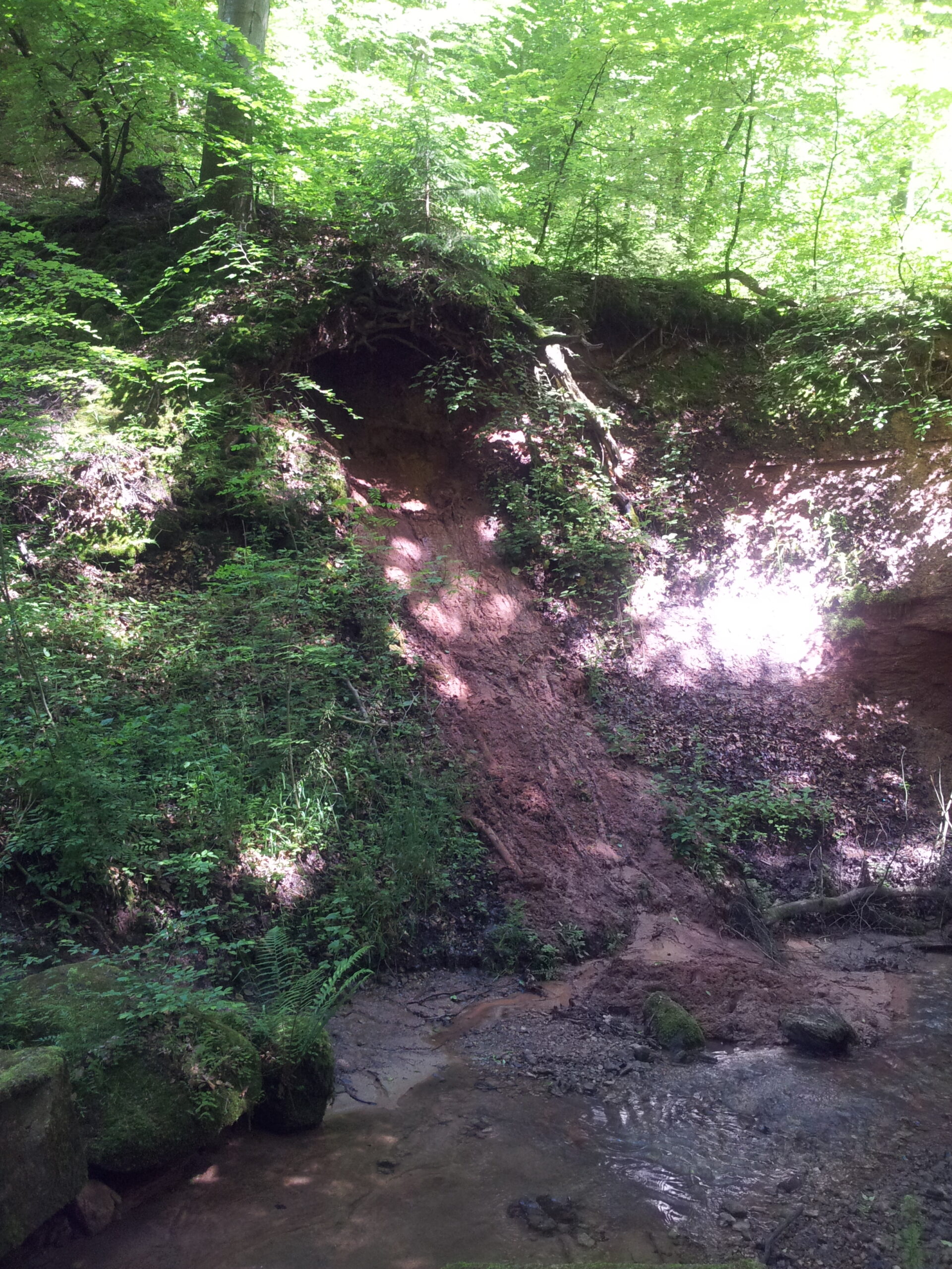
- File Name
- Loess soil slope
- File Size
- 1 MB
- File Type
- JPEG